Drone data collection, inspections, mapping and professional aerial imaging for construction, commercial, agriculture and more.
From high-resolution aerial imagery to advanced data collection, A Tort Aerials delivers professional drone solutions for commercial properties, construction projects, agriculture, and more. Our services provide the detailed insights and visual information you need to make informed decisions.
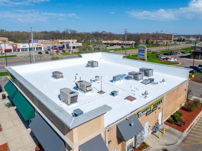
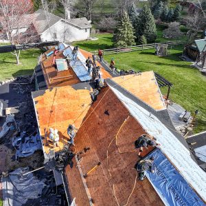
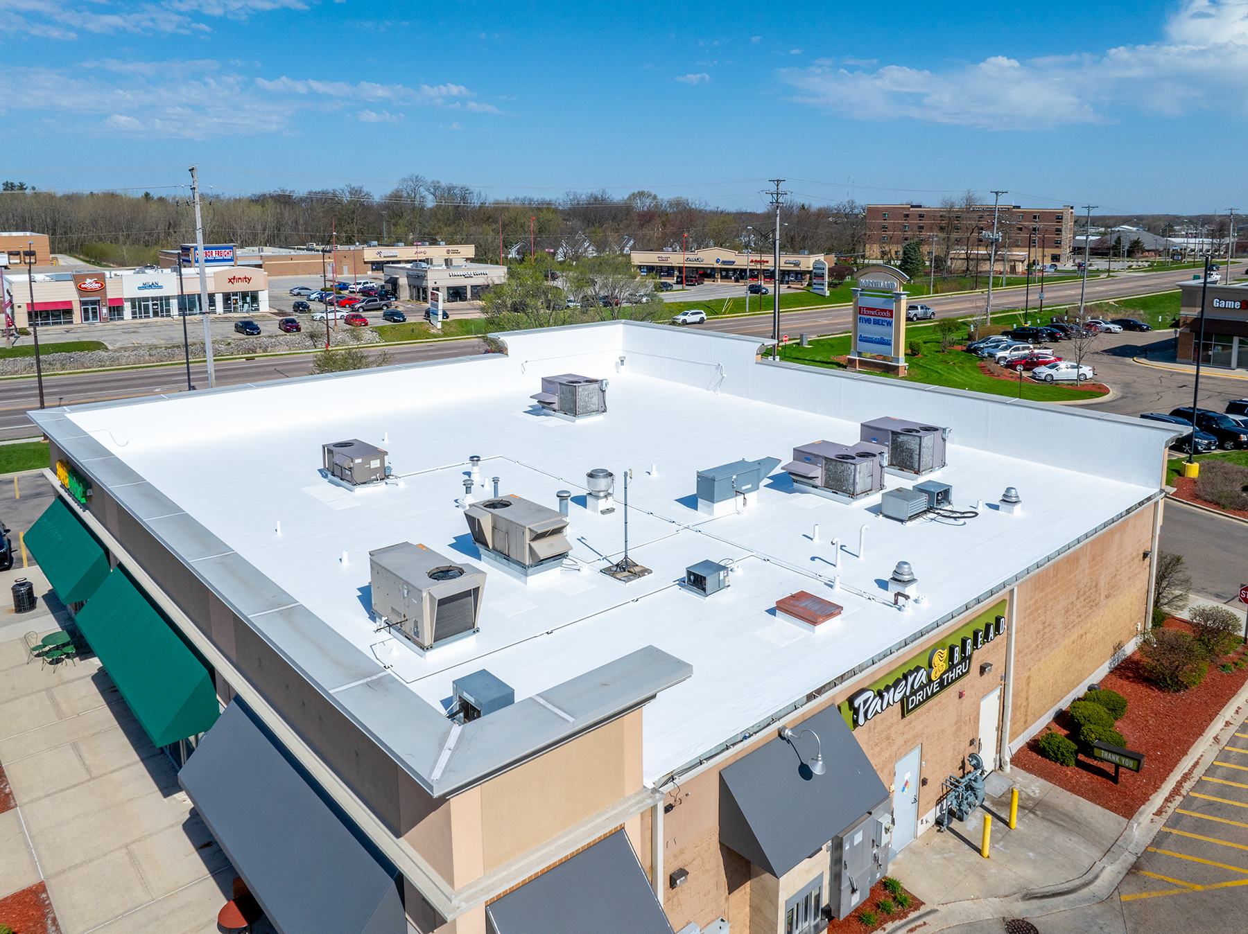
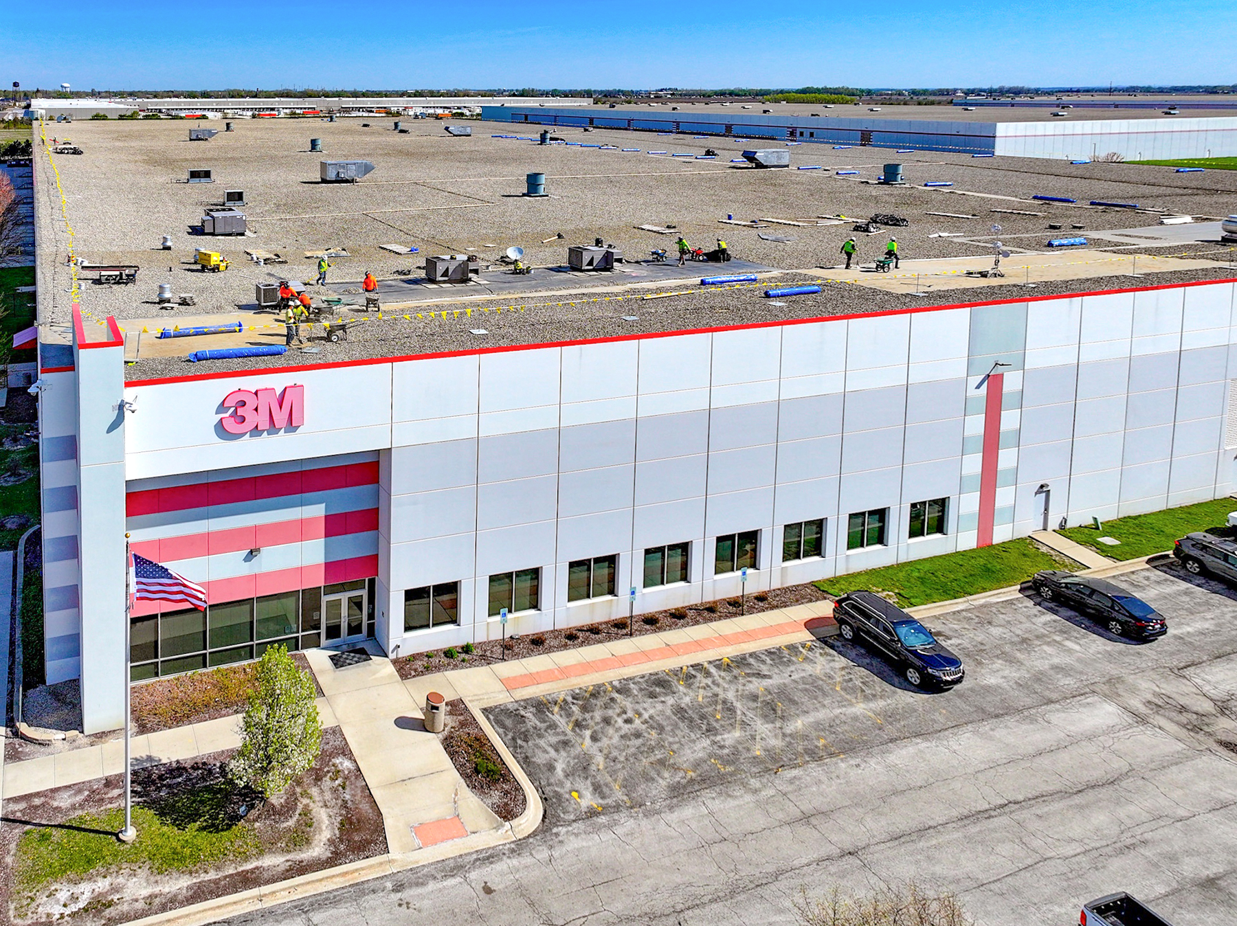
Detailed aerial inspections to assess roof conditions, identify potential issues, and document commercial and residential properties.
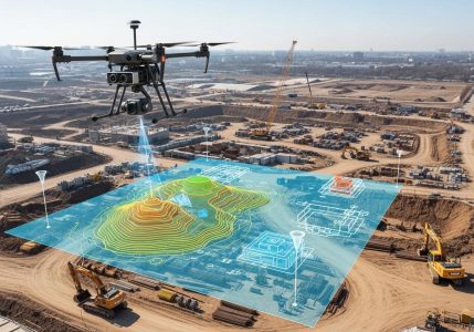
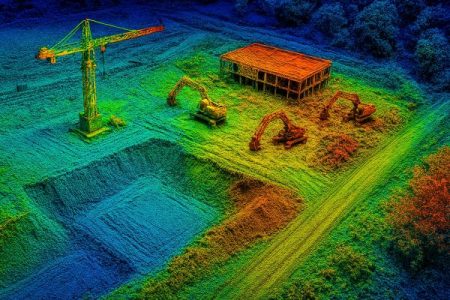
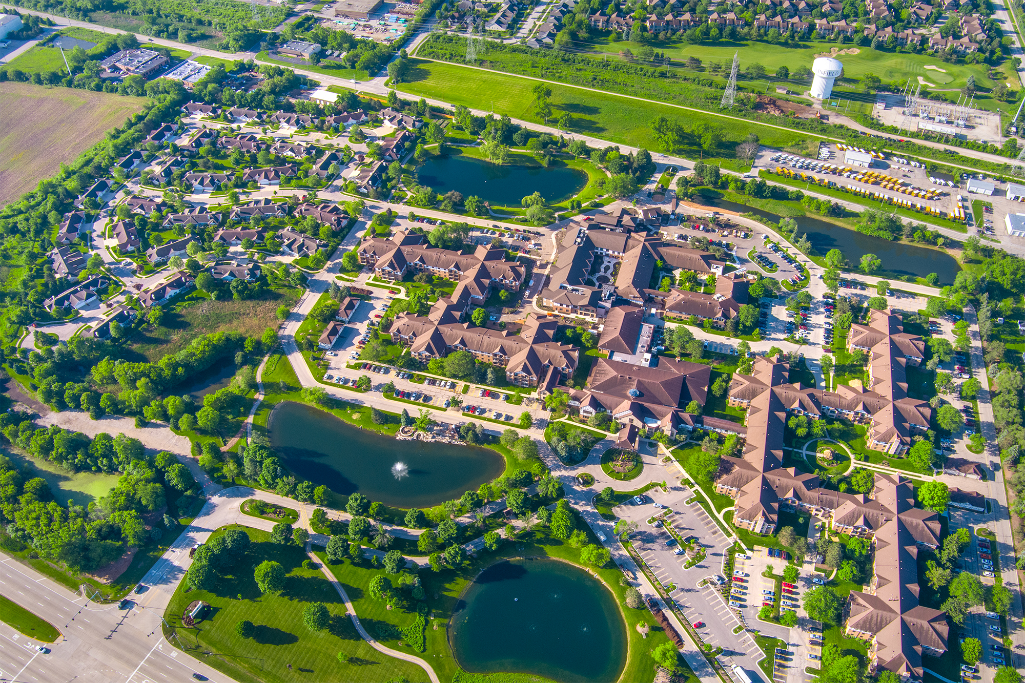
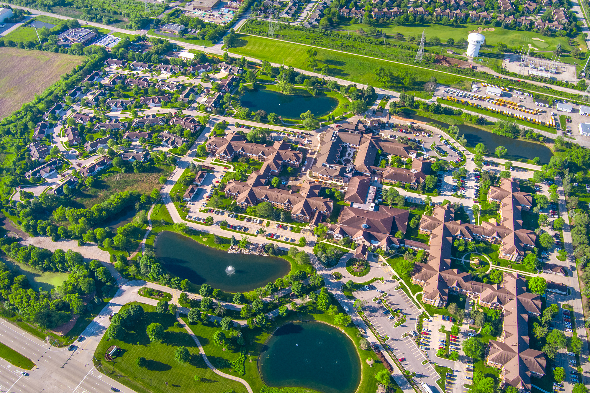
Accurate aerial mapping and detailed site imagery to support planning, measurements, land assessments, and project documentation.
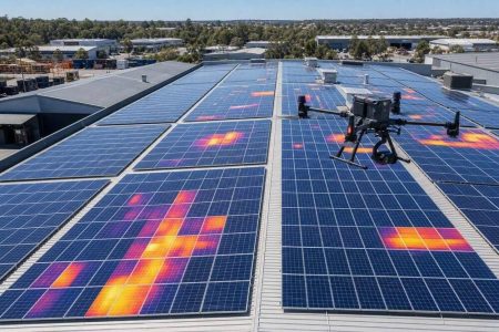
Advanced thermal imaging technology to identify temperature variations, potential heat loss, moisture concerns, and equipment issues.
Advanced drone data collection and aerial imaging solutions delivering accurate insights for commercial properties, construction, and land development projects.
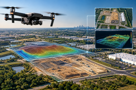
High-resolution 3D mapping and spatial data collection for terrain analysis, construction planning, and detailed site assessments.
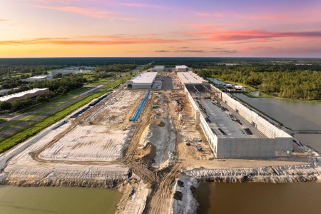
Track project progress with professional aerial photography, site documentation, and visual updates throughout every phase of construction.
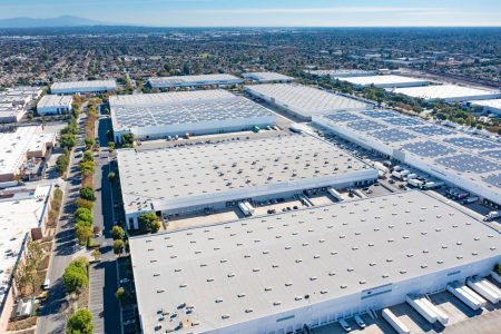
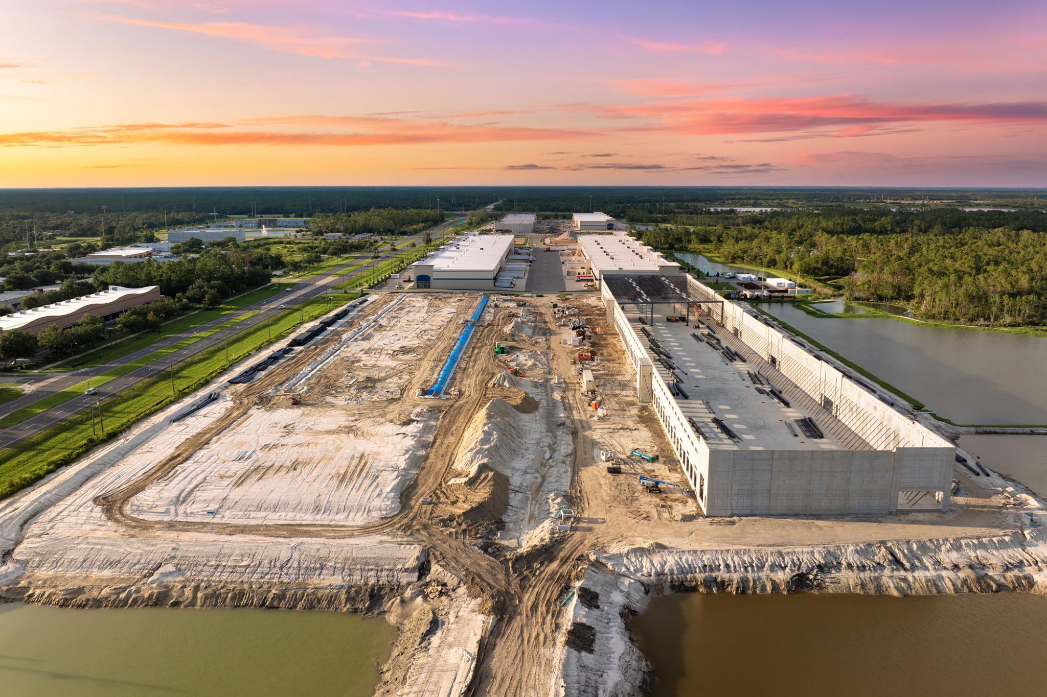
Professional drone imaging and mapping for commercial real estate, land development, and construction projects.
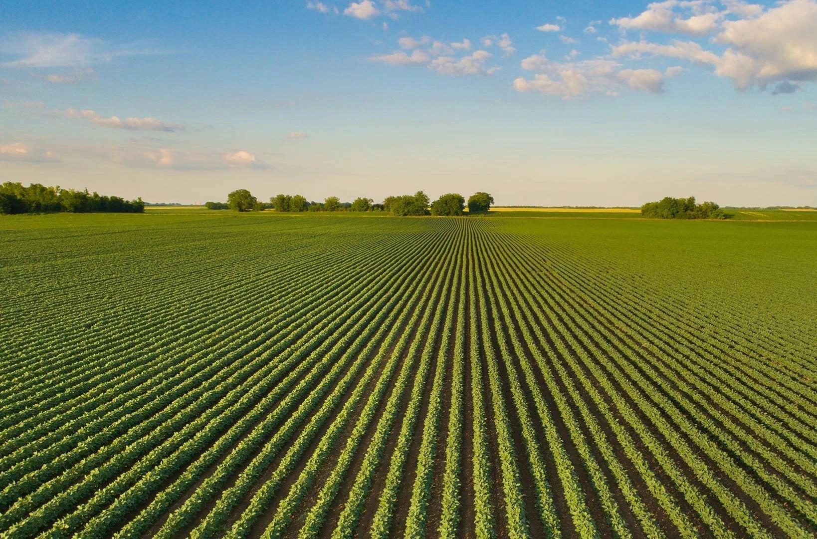
A Tort Aerials provides professional drone services designed to help businesses capture valuable data, monitor projects, and make informed decisions. From construction sites and commercial properties to agricultural land, our aerial solutions deliver a clearer perspective.
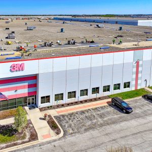
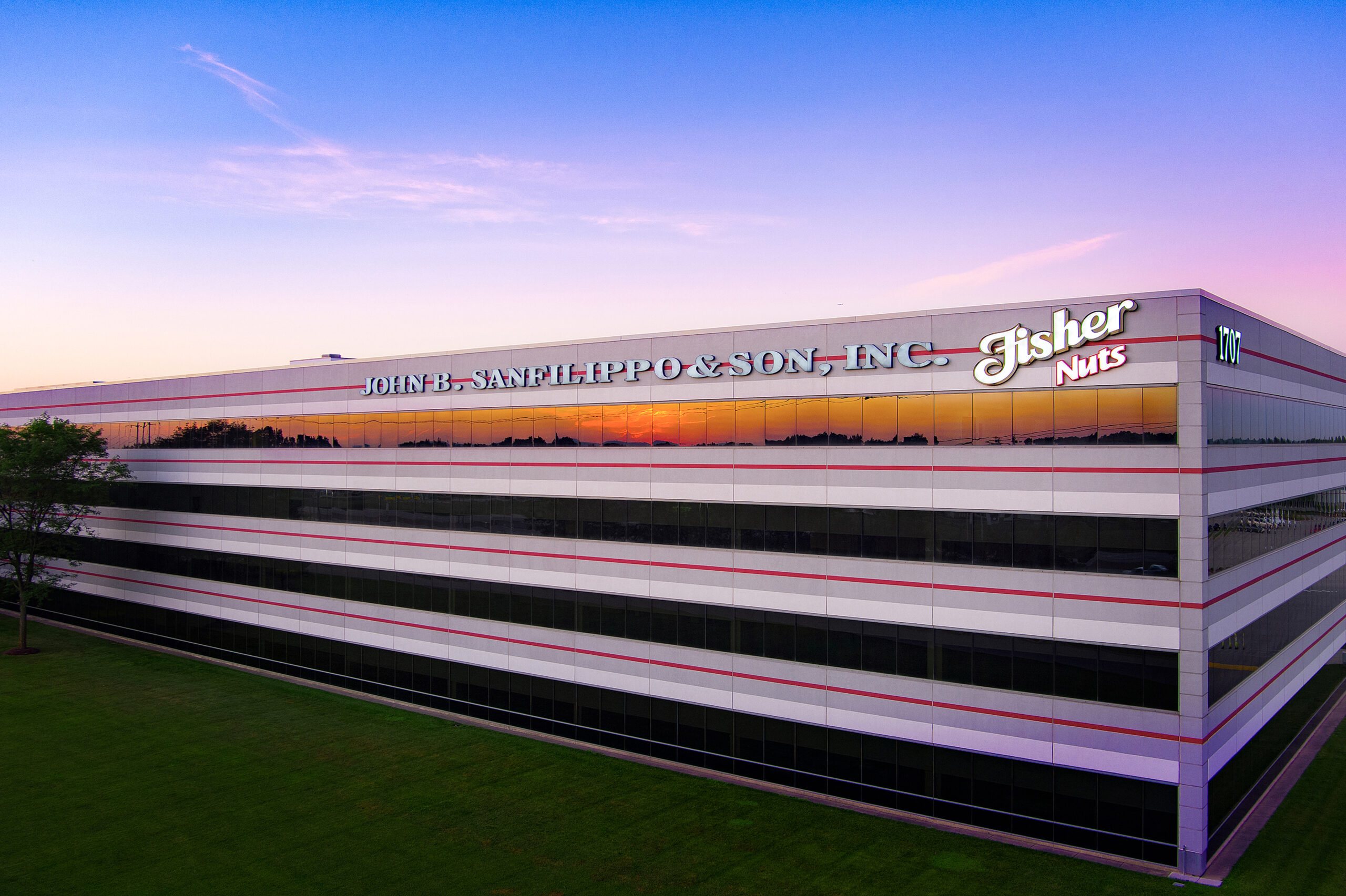
Professional aerial inspections, facility documentation, and data collection solutions for commercial buildings, industrial properties, and infrastructure.
Detailed aerial mapping, progress monitoring, site surveys, and visual documentation to support construction planning, project management, and engineering applications.
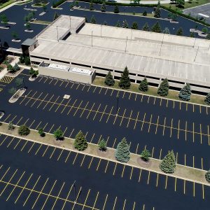
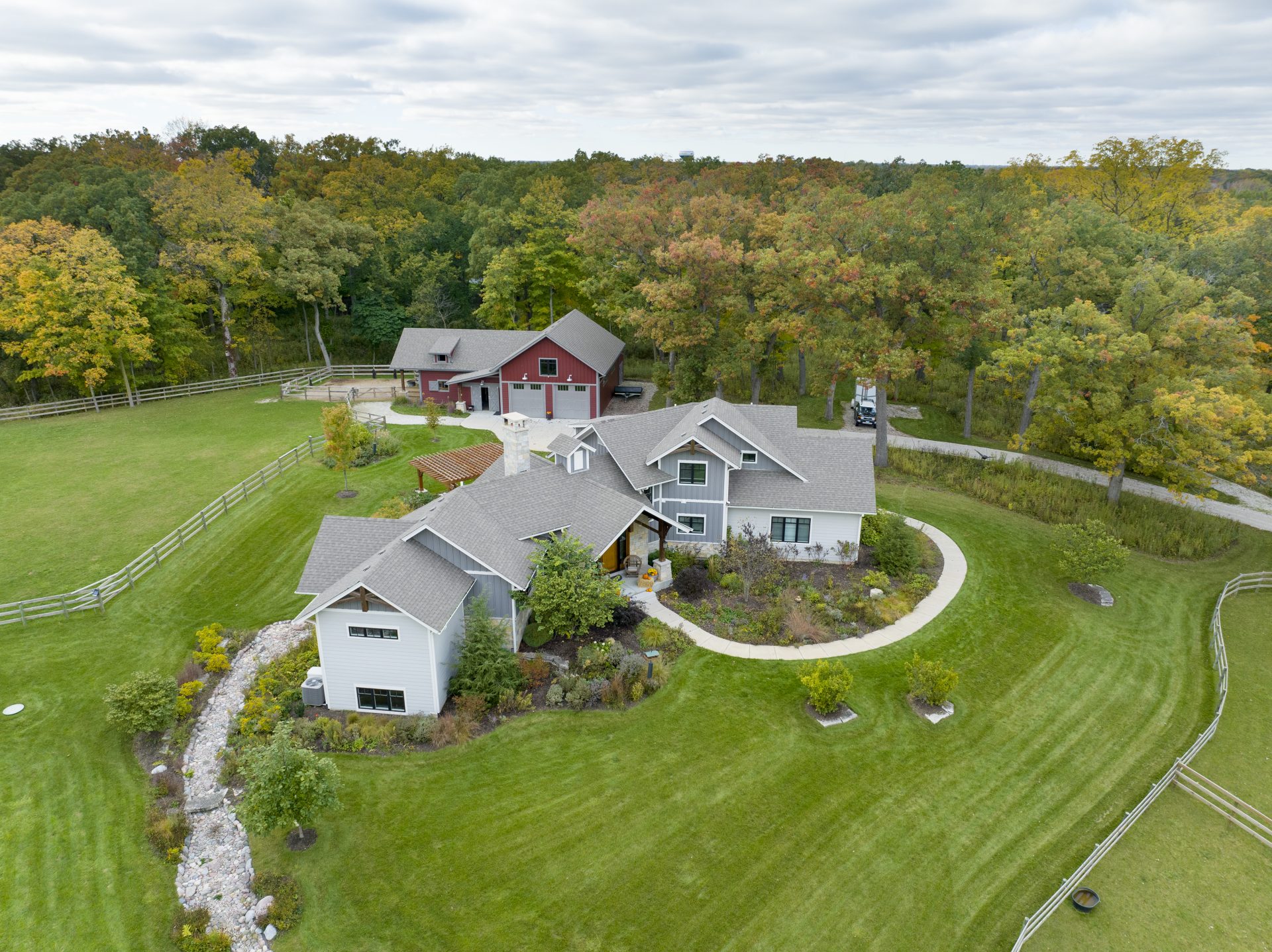
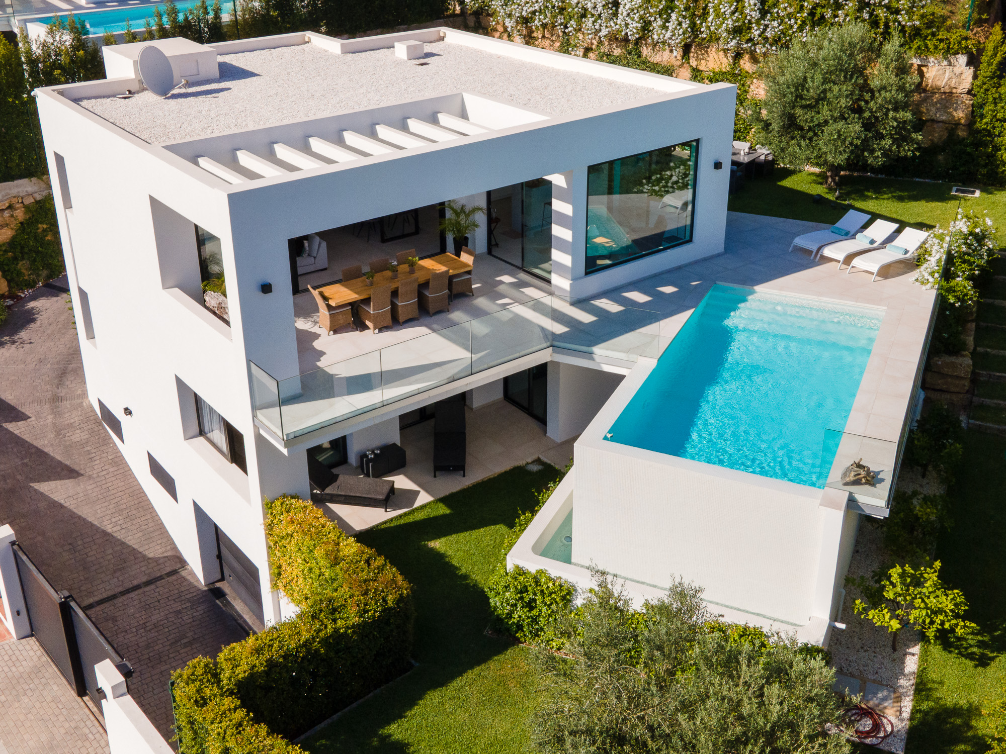
Professional drone imaging, aerial mapping, and site documentation for commercial land development, construction projects, commercial properties, and real estate professionals. Providing valuable visual information to support property evaluations, project planning, marketing, and ongoing development.
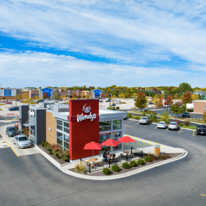
Professional aerial photography and video production designed to showcase businesses, commercial properties, construction projects, and developments. Creating compelling visual content for websites, advertising, social media, and brand promotion.
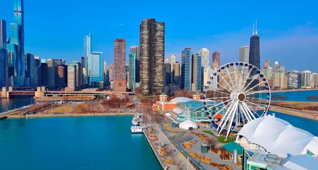
Dynamic, high-quality aerial cinematography that brings projects, properties, and businesses to life. Capturing unique perspectives through professional drone filmmaking for commercial productions, branded content, and visual storytelling.”
A Tort Aerials combines professional photography and video expertise with advanced drone technology to deliver real-world value for our clients.
Tell us about your company and services needed and we’ll get back to you quickly with more information.