
Commercial real estate development moves quickly, and every phase of a project depends on accurate, timely information.
We provide professional drone imaging, mapping, documentation, and inspection services that help developers, owners, general contractors, engineers, and project teams see their properties clearly, document progress, and make better-informed decisions throughout the development process. From raw land and pre-construction documentation to construction progress and completed-property marketing, we provide a consistent aerial perspective throughout the life of the project.
For better decisions
Through every phase
For all stakeholders
With detailed documentation
For marketing and leasing
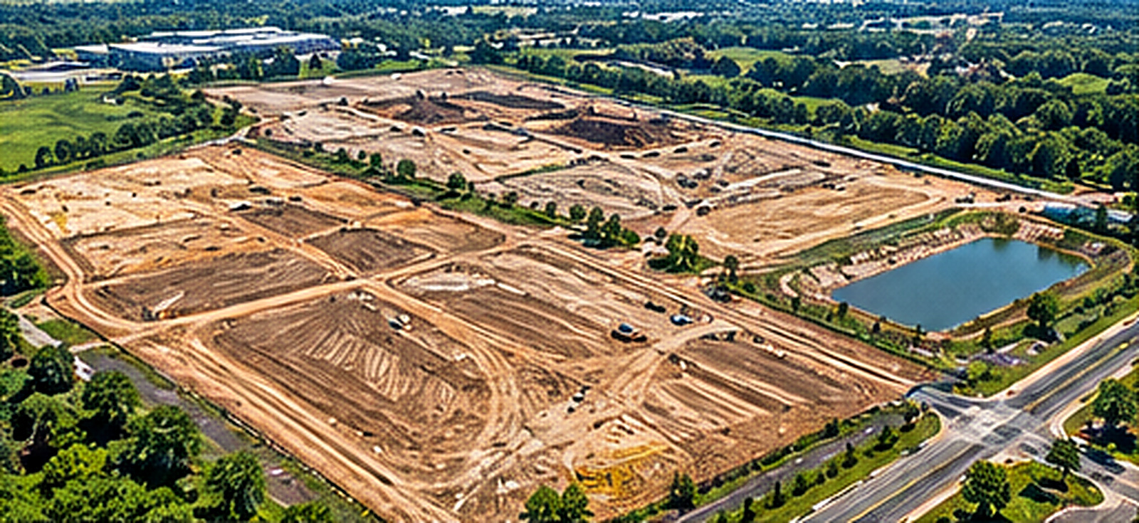
Before construction begins, establishing an accurate visual record of existing site conditions can be extremely valuable.
Our pre-construction drone services can document:
This creates a detailed visual baseline that project teams can reference as development progresses.
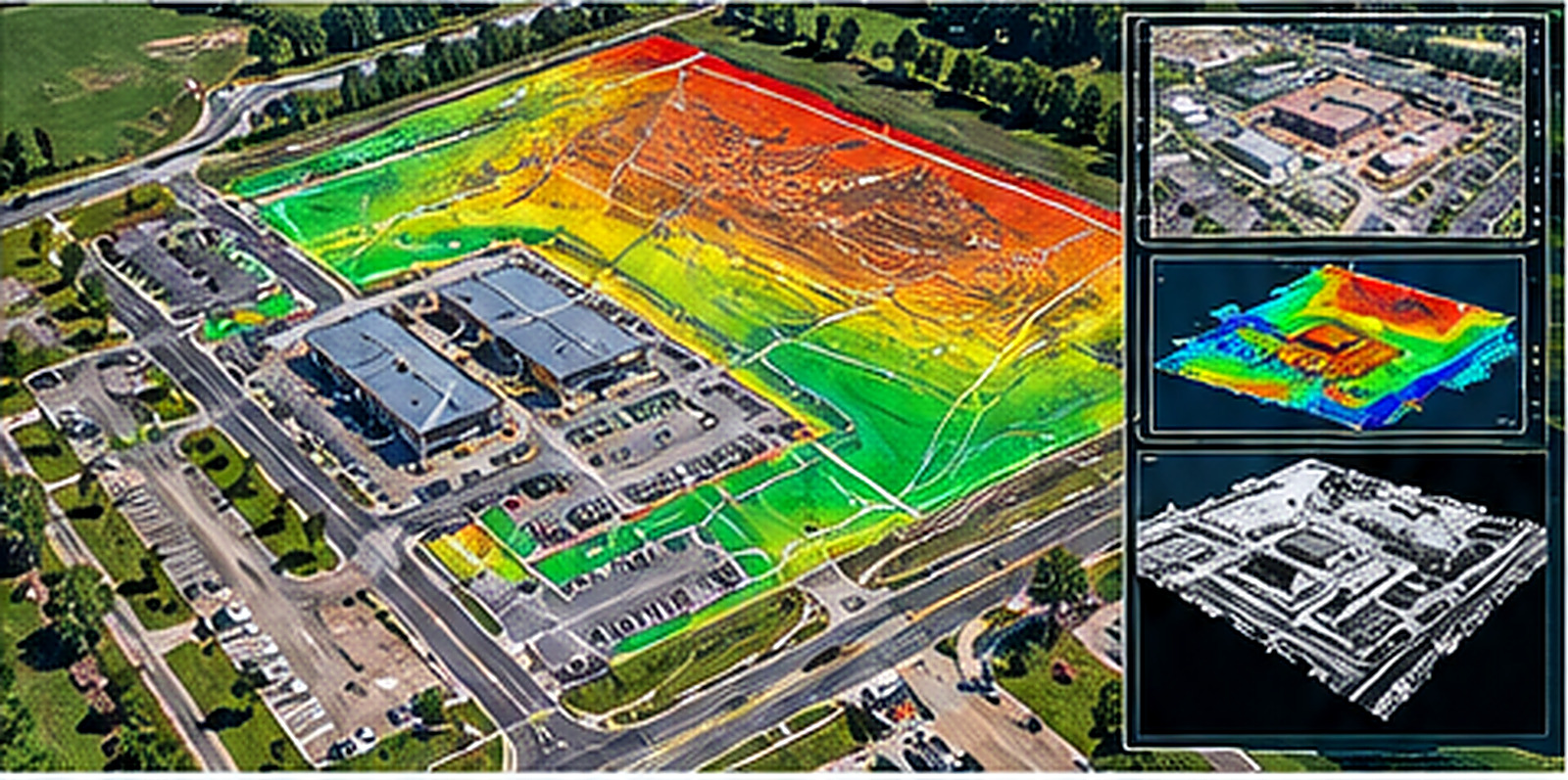
Drone mapping provides considerably more information than traditional aerial photographs alone.
Depending on project requirements, we can produce high-resolution aerial maps and data products that help development teams better understand and document the property.
Available deliverables may include:
Drone-generated information can also complement existing engineering, survey, CAD, and construction workflows.
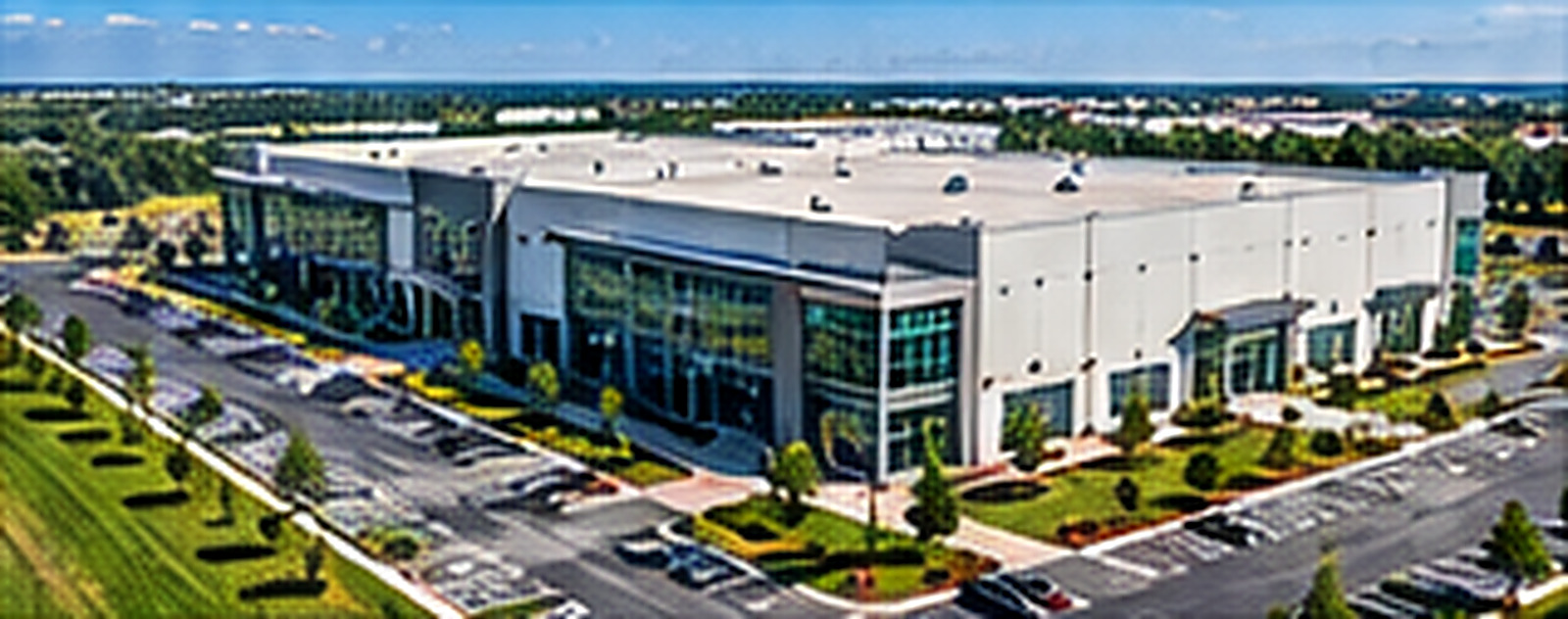
As construction approaches completion, professional aerial photography and video can showcase the development, surrounding infrastructure, nearby businesses, access roads, amenities, and the property’s relationship to the market.
Content can be created for:
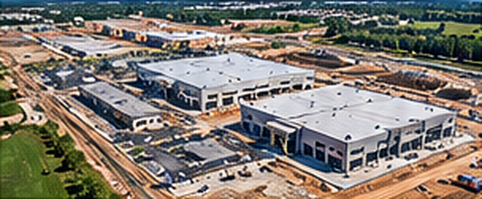
Aerial imagery makes complex construction activity much easier to understand.
Instead of relying solely on written progress reports, owners and investors can see the current condition of the property and how the project is advancing.
We can provide high-resolution photographs, video, aerial maps, and recurring progress documentation suitable for:
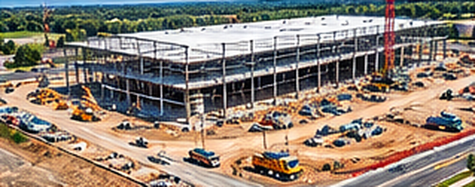
Scheduled drone flights provide a consistent visual record of construction from the same locations and perspectives throughout the project.
Weekly, biweekly, or monthly documentation can help teams:
Each flight becomes part of an organized visual history of the development.
Using the same drone service provider throughout a project creates consistency.
Instead of hiring different pilots for individual flights, developers can establish a repeatable documentation program with standardized flight locations, deliverables, file organization, and reporting.
That means your drone provider becomes part of the project’s documentation process rather than simply someone hired to take aerial photographs.
Whether you’re evaluating a property, preparing for construction, actively developing a site, or marketing a completed project, we can design a drone program around your project’s specific requirements.
Contact us to discuss your property, development schedule, and the information your team needs.