
From pre-construction to final completion, our professional drone services provide high-resolution imagery, mapping, and documentation to help keep your construction project on track and informed.
Consistent aerial documentation
Detailed site data and models
Clear visuals for all stakeholders
Access hard-to-reach areas
One partner for every phase
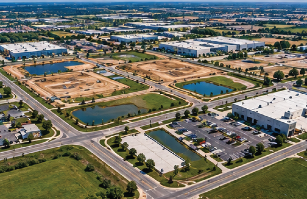
Before equipment begins moving dirt, we can document existing site conditions and surrounding areas. Creating a detailed visual record before construction begins provides valuable documentation that can be referenced throughout the project.
Documentation May Include:
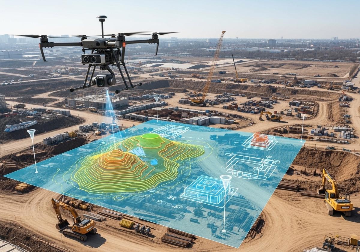
Drone mapping can transform hundreds of individual aerial photographs into a detailed, high-resolution view of the entire construction site.
Depending on project requirements, mapping deliverables can provide another valuable source of site information to complement existing construction, engineering, and survey documentation.
Deliverables May Include:
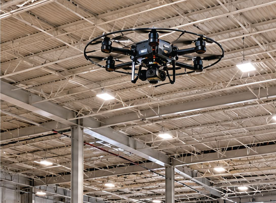
For certain projects, small specialized drones can capture interior areas where traditional aerial drones cannot operate.
Applications Include:
Interior drone documentation provides another level of project visibility as the building moves toward completion.
Capture detailed imagery of areas that are difficult, time-consuming, or potentially hazardous to view from the ground.
Applications Include:
High-resolution imagery allows project teams to review these areas from the office and determine whether additional inspection or investigation may be necessary.
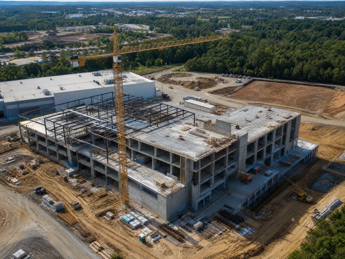
Professional aerial imagery allows owners, executives, investors, lenders, and other stakeholders to see project progress without being physically present.
Images, videos, maps, and progress comparisons can be incorporated into:
Clear visual progress documentation can often communicate project developments more effectively than lengthy written reports.
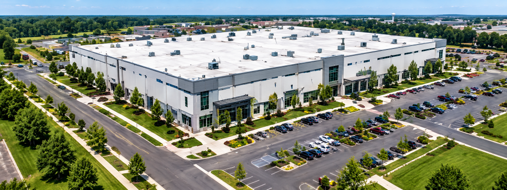
The greatest value often comes from using drone services consistently throughout the construction process. Rather than hiring someone occasionally to take aerial photographs, we can establish a recurring drone documentation program tailored to your construction schedule.
Benefits Include:
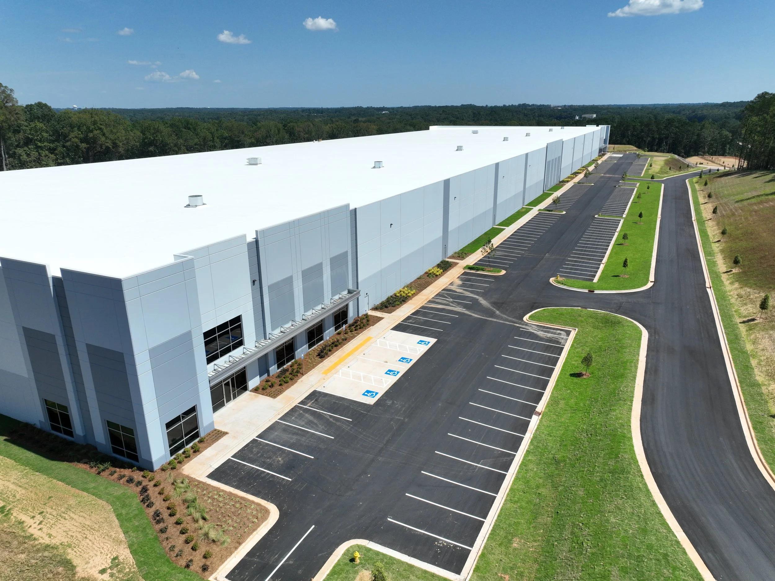
A project that took months or years to complete deserves to be professionally documented.
The greatest value often comes from using drone services consistently throughout the construction process.
Rather than hiring someone occasionally to take aerial photographs, we can establish a recurring drone documentation program tailored to your construction schedule.
Flights can be performed from consistent locations, using standardized procedures and organized deliverables so your team receives a reliable visual record throughout the life of the project.
Benefits Include:
Whether you need recurring construction progress documentation, aerial mapping, detailed inspections, or professional project imagery, we can develop a drone program around your specific construction project.
Contact us to discuss your project, construction schedule, and the deliverables that would provide the most value to your team.