
High-precision LiDAR data collection for commercial, industrial, and infrastructure projects. Delivering detailed 3D information to support planning, design, construction, and asset management.
High-precision LiDAR data collection for commercial, industrial, and infrastructure projects. Delivering detailed 3D information to support planning, design, construction, and asset management.
High-density point clouds can also provide detailed three-dimensional documentation of structures and complex industrial environments.
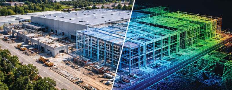
Every project is different, so deliverables are developed around the client’s intended use of the data.
Before mobilization, we work with the client to establish the required deliverables, coordinate reference system, project area, accuracy requirements, point density, and other technical specifications.
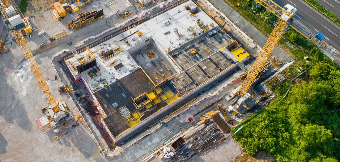
Successful LiDAR acquisition begins before the drone leaves the ground.
That’s why we begin by understanding how the client intends to use the data.
Instead of applying the same flight plan to every project, we design the collection strategy around the required outcome.

When higher positional accuracy is required, LiDAR projects may incorporate RTK or PPK positioning, base-station observations, ground control, and independent checkpoints.
The appropriate methodology depends on the project’s accuracy requirements, site conditions, available control, sensor, aircraft, and intended use of the final data.
We can coordinate directly with your engineer, surveyor, or project manager before data collection begins.
Drone LiDAR can provide an effective combination of detail, speed, flexibility, and accessibility for projects that may be difficult or inefficient to capture using other methods alone.
The objective isn’t simply to fly a drone. The objective is to collect the right information for the project.
The best LiDAR projects begin with a conversation about the data.
What area needs to be captured? What level of detail is required? What accuracy does the project require? What coordinate system is being used? What final deliverables does your team need?
Once we understand those requirements, we can develop the appropriate LiDAR data-acquisition plan.