Advanced Drone Solutions.

Professional Results.

Our Services

Accurate Date. Real-World Results.

From commercial inspections and advanced data collection to cinematic aerial photography and video production, Atort Aerials delivers professional drone services that help businesses capture valuable information, document projects, and showcase properties from a new perspective.

A Higher Perspective for Every Project

Professional Drone Services

Atort Aerials combines professional imaging expertise with advanced drone technology to deliver high-quality aerial imagery, detailed site documentation, and valuable data for commercial and industrial applications.

Whether you’re managing a construction project, evaluating commercial property, inspecting a building, or creating compelling marketing content, we provide solutions tailored to your needs.

Commercial roofing inspections

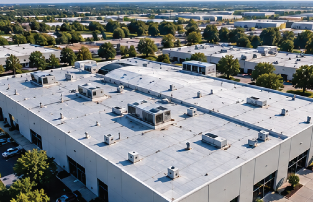
Detailed aerial roof inspections for commercial and residential properties. Capture high-resolution imagery to evaluate roof conditions, identify visible concerns, and document areas that may require maintenance or further assessment.

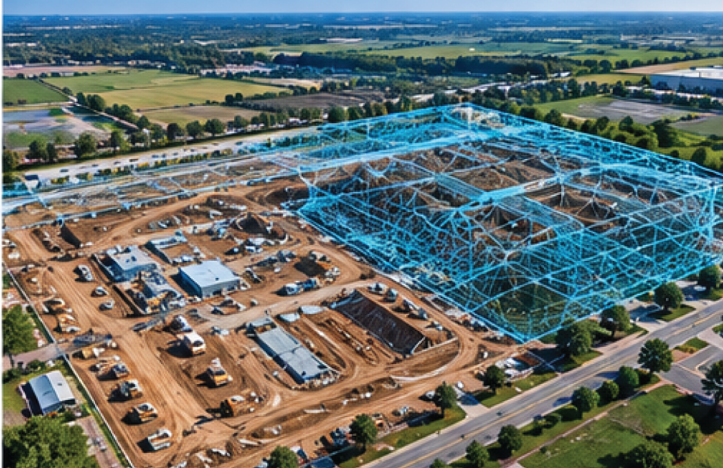
Aerial mapping and photogrammetry

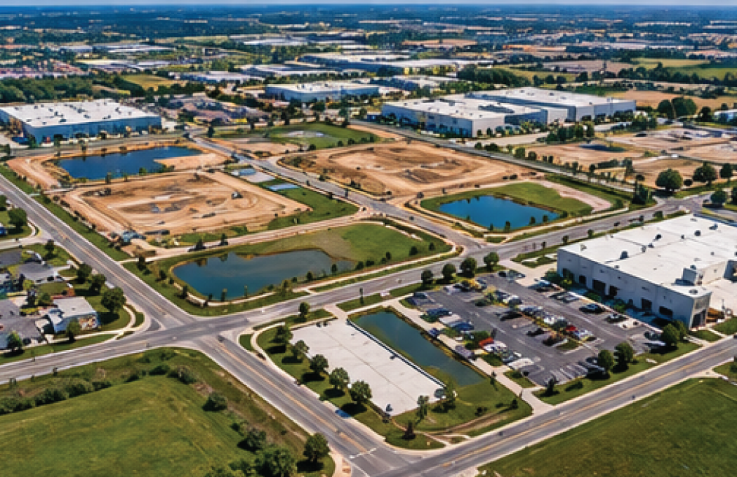
Professional aerial mapping and photogrammetry services that provide detailed site imagery and visual data to support land assessments, measurements, construction planning, and project documentation.

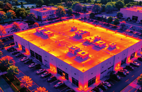
Thermal Imaging

Advanced aerial thermal imaging to detect temperature variations and help identify potential heat loss, moisture-related concerns, and equipment performance issues in commercial and industrial environments.

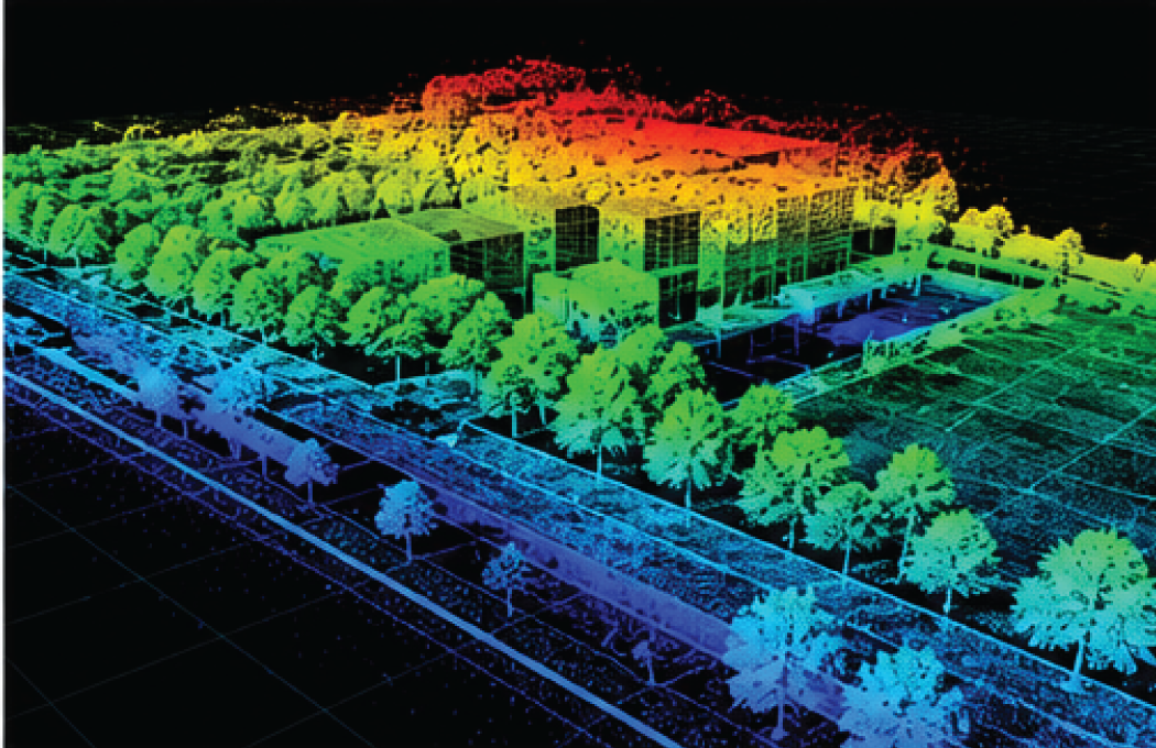
LiDAR Services

High-resolution 3D mapping and spatial data collection for terrain analysis, construction planning, land development, and detailed site assessments. LiDAR technology helps create a clearer understanding of complex environments and existing site conditions.

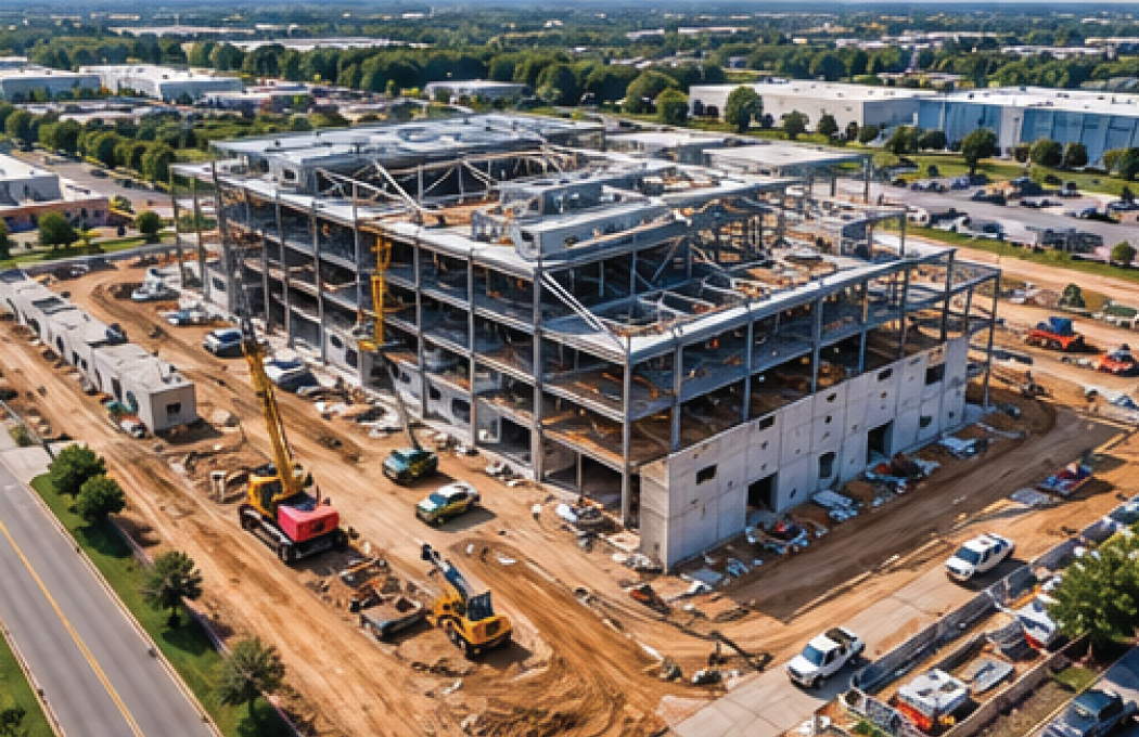
Construction progress documentation

Monitor and document every phase of construction with professional aerial photography and site imagery. Track changes, communicate progress, and maintain a visual record of your project from initial site preparation through completion.

Commercial Land Development
& Commercial Real Estate

Professional aerial photography, mapping, and site documentation for commercial developments, investment properties, and real estate professionals. Capture valuable perspectives that support property evaluations, development planning, and marketing.

PROMOTIONAL & MARKETING CONTENT

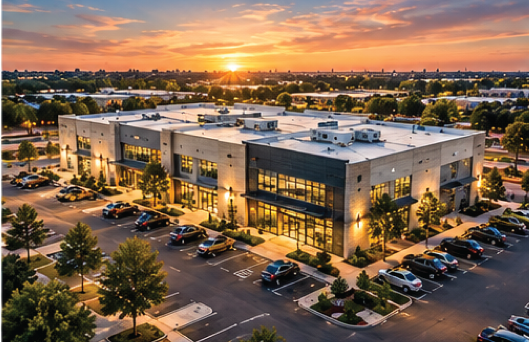
Professional aerial photography and video production designed to showcase businesses, commercial properties, construction projects, and developments. Create compelling visual content for websites, advertising, social media, and promotional campaigns.

CINEMATIC AERIAL PRODUCTION

High-quality aerial cinematography that brings businesses, properties, and projects to life. Capture dynamic perspectives and professional footage for commercial productions, branded content, and visual storytelling.

WHY CHOOSE A TORT AERIALS

Experience.
Technology.
Attention to Detail.

With decades of professional photography experience and extensive drone operations expertise, A Tort Aerials combines creative vision with modern aerial technology.

We understand the importance of dependable service, clear communication, quality imagery, and useful project deliverables.

From commercial inspections and data collection to creative aerial production, every project receives the same professional attention and commitment to quality.

A Better Perspective Starts Here.

LET'S DISCUSS YOUR PROJECT

Whether you’re planning a construction project, evaluating a commercial property, collecting aerial data, or producing professional marketing content, A Tort Aerials is ready to help.

Contact us to discuss your project requirements and discover how our drone services can support your goals.