
Instead of reviewing hundreds of individual photographs, your team can view the entire project area as one detailed image.
Our drone mapping services provide accurate, reliable data to help you plan, design, build, and manage your projects.
Instead of reviewing hundreds of individual photographs, your team can view the entire project area as one detailed image.
Our drone mapping services provide accurate, reliable data to help you plan, design, build, and manage your projects.
Depending on the project, drone data can be processed into both two-dimensional and three-dimensional deliverables.
High-resolution orthomosaics
2D site maps
3D models
Point clouds
Digital Surface Models (DSM)
Digital Terrain Models (DTM), when appropriate data is available
Elevation information
Contours
Volumetric calculations
CAD-compatible files
GIS-compatible files
Before the flight, we work with the client to determine which deliverables will provide the most value.
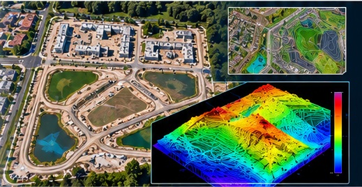
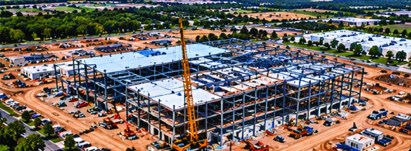
Construction sites can change significantly in a matter of weeks. Recurring drone mapping provides an updated view of the entire site and creates a historical record of development over time.
Construction mapping may assist with:
Site preparation documentation
Clearing and grading
Building-pad progress
Road and parking construction
Drainage improvements
Utility progress
Material placement
Earthwork documentation
Overall project progress
Maps collected at regular intervals can also be compared to help teams understand how site conditions have changed between flights.
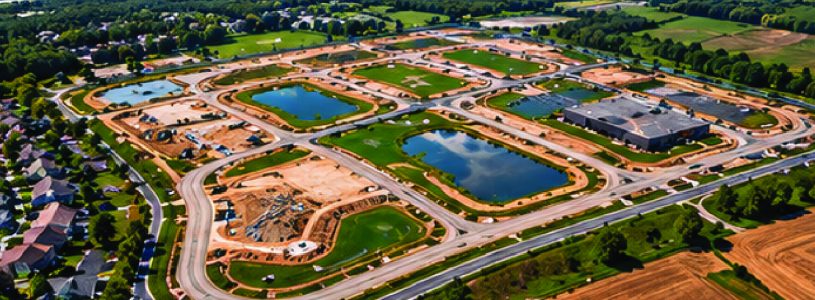
Drone mapping provides developers with a detailed perspective of a property that can be difficult to obtain from ground-level photographs or conventional satellite imagery.
Mapping may be useful during:
Site evaluation
Pre-construction planning
Land clearing
Grading
Infrastructure development
Construction
Project documentation
High-resolution imagery also makes it easier to communicate site conditions with project managers, engineers, contractors, owners, and other stakeholders.
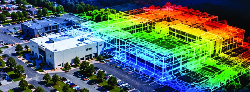
Engineering firms often require current site information that complements existing survey, CAD, GIS, and design data.
Drone mapping can provide information to support:
Existing-condition documentation
Planning
Design
Drainage projects
Infrastructure projects
Construction monitoring
Site-development projects
Project documentation
When required, we can coordinate directly with engineering and surveying professionals to establish project specifications before data collection begins.
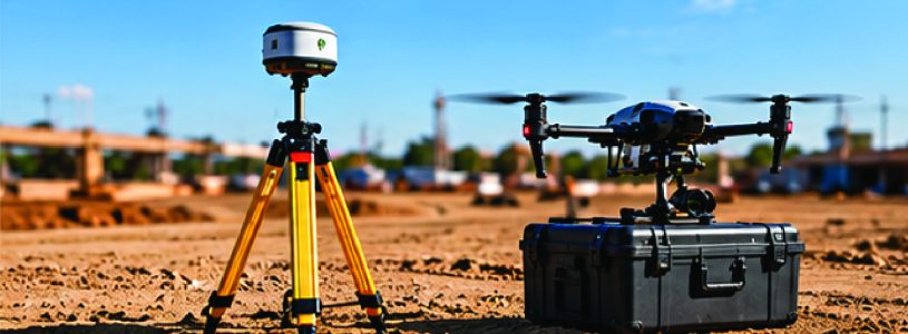
Not every mapping project requires the same level of positional accuracy.
When higher accuracy is required, projects may incorporate RTK or PPK positioning, base-station data, ground control points, and independent checkpoints.
Factors include:
Intended use of the data
Required accuracy
Project size
Site conditions
Coordinate system
Available survey control
Required deliverables
We determine the appropriate workflow before data collection begins rather than applying the same process to every project.
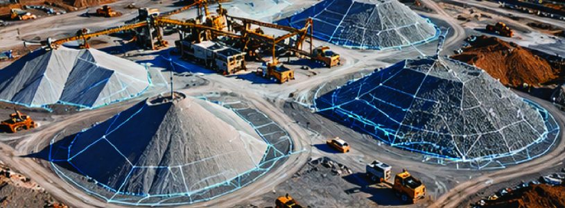
Drone mapping can also be used to create three-dimensional models for volume calculations.
Applications may include:
Aggregate stockpiles
Dirt piles
Excavation areas
Cut-and-fill areas
Construction materials
Mining and quarry operations
Recurring collections can provide a consistent method for documenting changes in material quantities over time.
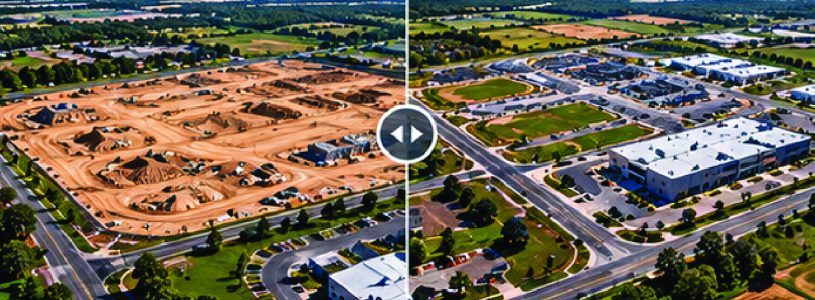
One of the most valuable applications of drone mapping is the ability to repeatedly capture the same property.
When mapping is performed at regular intervals, clients can compare current conditions with previous datasets.
This can provide valuable documentation for:
Construction progress
Earthwork
Site development
Drainage changes
Material movement
Infrastructure installation
Property improvements
Instead of having isolated photographs from different stages of a project, the client develops an organized visual and digital history of the site.
Standard aerial photography is excellent for showing what a property looks like. Drone mapping is designed to provide more.
A properly planned mapping mission captures overlapping, georeferenced imagery across the entire project area. That information is then processed into digital products that can be viewed, measured, analyzed, and shared.
Aerial photography shows you the site.
Drone mapping helps you work with the site.
Every client doesn’t need every available mapping product.
Before each project, we determine:
Area of interest
Intended use of the data
Required ground resolution
Accuracy requirements
Coordinate reference system
Required deliverables
File formats
Ground-control requirements
Processing requirements
Delivery schedule
This allows us to design the flight and processing workflow around what the client actually needs.
Successful mapping requires more than putting a drone in the air.
Flight altitude, image overlap, camera settings, ground sampling distance, GNSS conditions, ground control, positioning methodology, processing, and quality control can all affect the final product.
Our objective is to provide consistent, professional data collection and deliverables that meet the requirements established for the project.
Tell us what you need to accomplish — not simply how many acres you need flown.
We’ll work with you to understand the project area, accuracy requirements, intended use, and final deliverables before developing the appropriate mapping solution.